Mapping Pins
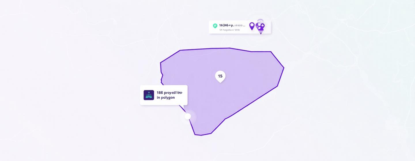
Plot properties instantly with lightweight coordinate responses. The Mapping Pins API powers smooth, responsive map UIs without the overhead of full data records.
Search & Zoom
Experiences
Experiences
NWES
Thematic Overlays
Real Estate Portals
Investment
Analytics
Analytics
Developer First
Returns lat/long pins tied to REAPI IDs for fetching richer details on demand.
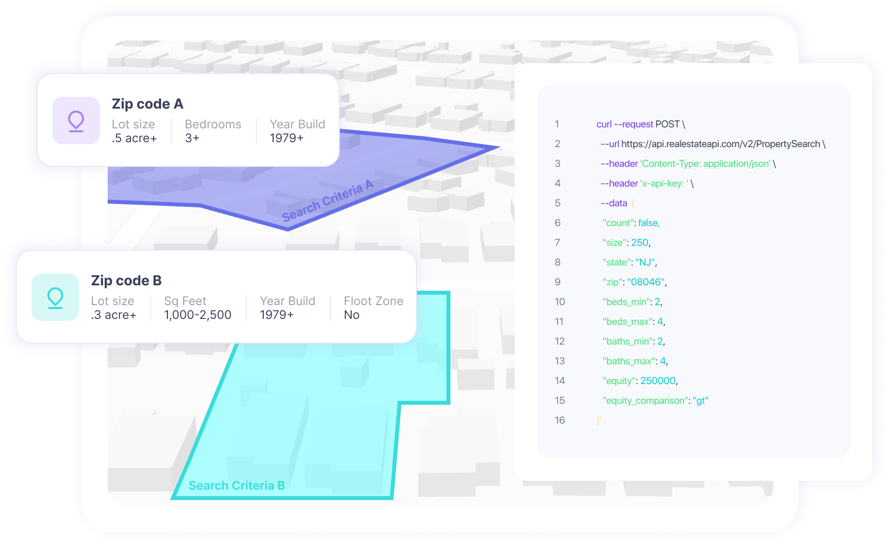
Custom Search Criteria
Filter by foreclosure status, mortgage type, property use and more.
Scalable Usage
Optimized for repeated calls, with metadata that guides load management.
Parcel Boundaries
Move beyond pins with parcel-level detail. The Property Boundary API delivers precise GeoJSON shapes for accurate overlays and spatial analysis.
Easy integration with GeoJSON format
Lot-level visualization for every property nationwide
Search by radius, polygon, or custom geographic shapes
Perfect for geospatial filters and site planning
Secondary Use Cases
- • Visualize lot lines and parcel footprints
- • Let users draw search areas directly on your map
- • Combine with market data for neighborhood analysis

Property Details
Lat: 37.128929
Long: -76.555999
Lot: 0.38 acres
Use: Residential
Pins + Boundaries = Powerful Filters
Combine APIs to let users draw polygons and instantly return all properties inside, flagged with status or market indicators.